 Lýsigagnagátt
Loftmyndasjá - Historical Imagery Map
IS:
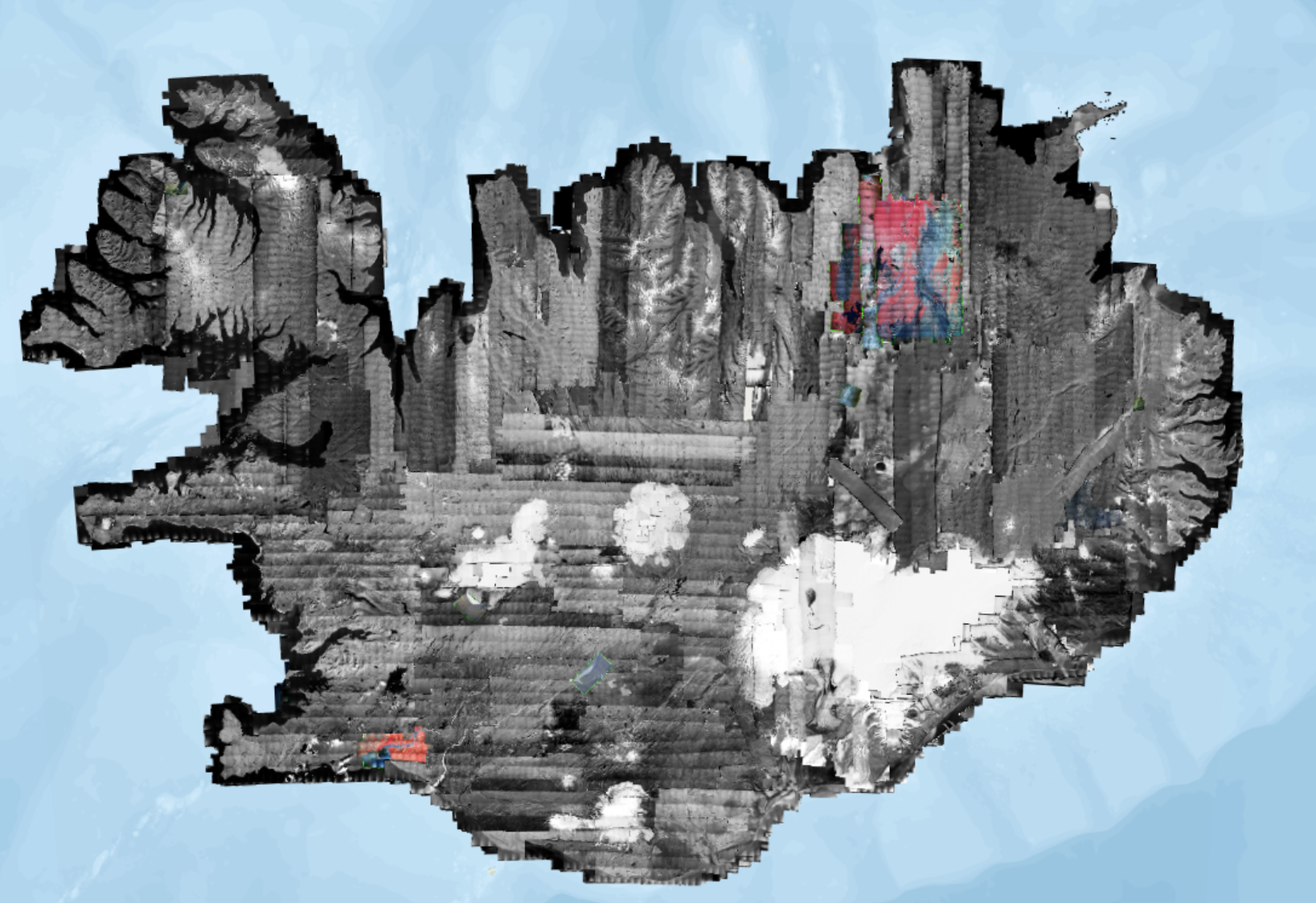
Loftmyndasjáin er vefsjá með sögulegum loftmyndum og er byggð á loftmyndasafni Náttúrufræðistofnunar sem nær rúmlega 80 ár aftur í tímann. Vefsjáin var hönnuð hjá Landmælingum Íslands. Loftmyndunum sem finna má í vefsjánni ( https://www.lmi.is/is/landupplysingar/fjarkonnun/loftmyndasafn) hefur verið safnað úr flugvél, þær skannaðar og breytt í kort.
Loftmyndasjáin nýtist við kennslu, rannsóknir og sögu auk þess að svala almennri forvitni. Aðgangur að vefsjánni er öllum opinn og án gjaldtöku.
Heimild:
Náttúrufræðistofnun. Loftmyndasjá. Dagsetning myndar. loftmyndasja.gis.is. [Loftmynd].
EN:
The Loftmyndasjá is a webviewer with historical aerial imagery from the Natural Science Institute of Iceland's historical imagery archive ( https://www.lmi.is/is/landupplysingar/fjarkonnun/loftmyndasafn) . The viewer covers imagery from the past 80 years, and was designed at the Land Survey of Iceland (now Natural Science Institute of Iceland). The imagery found in the Loftmyndasjá has been collected from airplanes, scanned into digital format, and turned into map layers.
The web viewer is open and free to all.
Citation:
Natural Science Institute of Iceland [Náttúrufræðistofnun]. Historical Imagery Map [Loftmyndasjá]. Imagery date. loftmyndasja.gis.is. [Aerial Imagery].
Simple
- Date (Publication)
- Presentation form
- Digital map
- Credit
-
Náttúrufræðistofnun
- Point of contact
-
Organisation name Individual name Electronic mail address Role Náttúrufræðistofnun
Point of contact
- Place
-
-
Loftmyndir
-
Loftmyndasjá
-
Orthoimagery
-
Imagery
-
Aerial Imagery
-
Historic images
-
Sögulegt mynd
-
Kort
-
Map
-
- Language
- ice
- Topic category
-
- Imagery base maps earth cover
))
- Reference system identifier
- EPSG:3057
Digital transfer options
- OnLine resource
-
Protocol Linkage Name WWW:DOWNLOAD-1.0-http--download
OGC:WMC-1.1.0-http-get-capabilities
Online Web Map Context file
WWW:LINK-1.0-http--link
https://loftmyndasja.gis.is/ Loftmyndasjá - Aerial Imagery Map
Metadata
- File identifier
- 196b6616-d3b2-430a-9fde-937a943466aa XML
- Metadata language
- English
- Character set
- UTF8
- Hierarchy level
- Dataset
- Date stamp
- 2026-01-19T11:24:08
- Metadata standard name
-
ISO 19115:2003/19139
- Metadata standard version
-
1.0
- Metadata author
-
Organisation name Individual name Electronic mail address Role Náttúrufræðistofnun
Point of contact
)))