 Lýsigagnagátt
ni_j100v Jarðgrunnur, flákar, á Vesturgosbelti – 1:100.000
Þekja [layer] j100v_vesturgosbelti_jardgrunnur_1utg_fl:
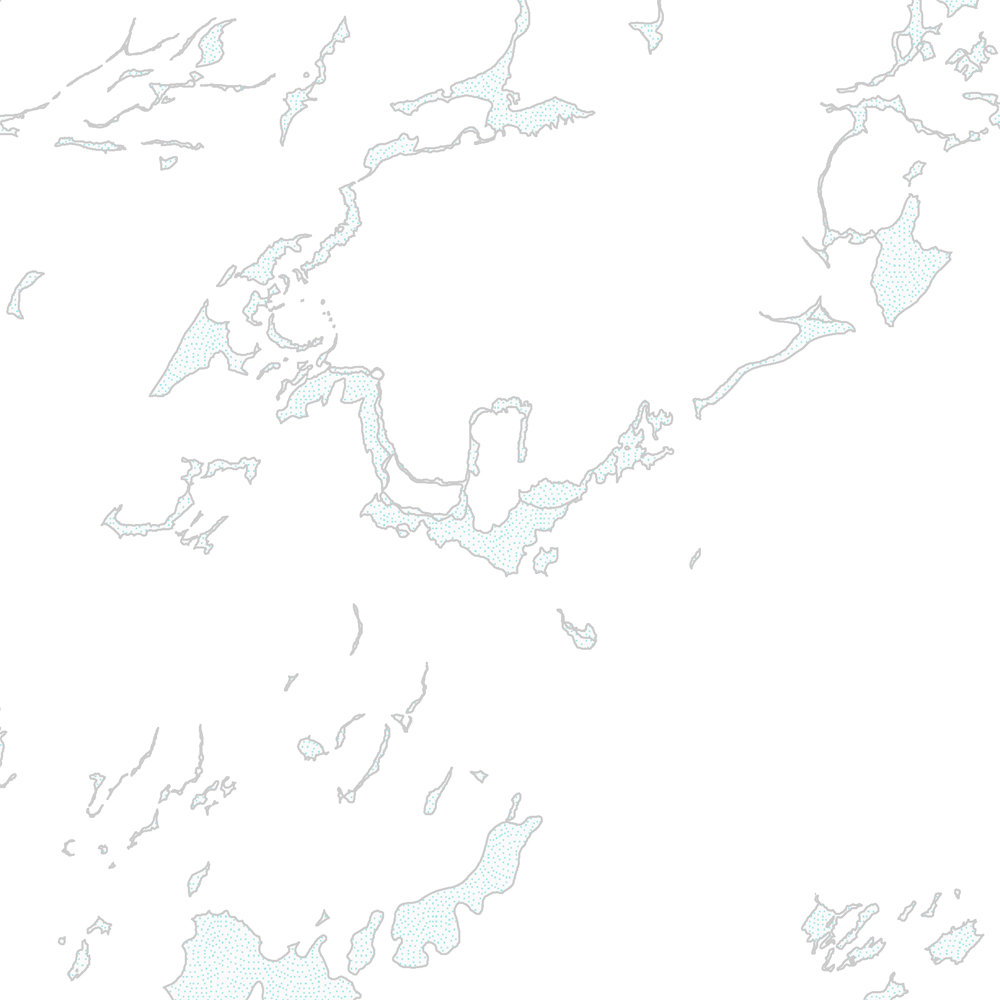
Jarðgrunnsgögn af Vesturgosbelti Íslands. [Surface deposits of the Western Volcanic Zone of Iceland.]
Laus setlög, svo sem jökulgarðar og árset.
[Unconsolidated sediments including glacial morianes and river sediments.]
Simple
- Date (Publication)
- 2021-12-01
- Edition
-
1. útgáfa
- Status
- On going
- Point of contact
-
Organisation name Individual name Electronic mail address Role Náttúrufræðistofnun – Natural Science Institute of Iceland
Point of contact
- Maintenance and update frequency
- As needed
- Theme
-
- Place
-
-
National
-
-
GEMET - INSPIRE themes, version 1.0
-
-
Geology
-
- Use constraints
- Copyright
- Other constraints
-
https://www.natt.is/is/midlun/opin-gogn
Gögnin eru öllum opin – no limitations on public access
- Spatial representation type
- Vector
- Denominator
- 100000
- Language
- English
- Character set
- UTF8
- Topic category
-
- Geoscientific information
- Begin date
- 2019-05-01
- End date
- 2021-06-01
))
- Reference system identifier
- EPSG / 3057 / 7.6.1(9.0.0)
- Distribution format
-
Name Version ESRI ArcGIS File Geodatabase
1.010.8.1.14362
ESRI Shapefile
1.010.8.1.14362
Digital transfer options
- OnLine resource
-
Protocol Linkage Name WWW:LINK-1.0-http--link
https://www.natt.is/is/midlun/opin-gogn/nidurhal-gagna Niðurhal gagna
WWW:LINK-1.0-http--link
https://www.natt.is/is/midlun/opin-gogn Skilmálar (PDF) – Licence (PDF)
WWW:LINK-1.0-http--link
https://jardfraedikort.ni.is/ NÁTT kortasjá 'Jarðfræði Íslands'
WWW:LINK-1.0-http--link
https://www.natt.is Vefur Náttúrufræðistofnunar
WWW:LINK-1.0-http--link
https://www.natt.is/is/midlun/grunngerd-landupplysinga/gagnalysingar-og-fitjuskrar Íslenskt fitjuskrá '600 Jarðmyndun og landmótun' sem tengjast staðlinum ÍST 120 (PDF)
OGC:WMS
https://gis.natt.is/geoserver/wfs?request=GetCapabilities ni:ni_j100v_vesturgosbelti_jardgrunnur_1utg_fl
- Hierarchy level
- Feature
- Statement
-
Kortlagt af jarðfræðingum NÍ og ÍSOR, ásamt loftmyndagreiningu. Gögnin hafa verið yfirfarin og endurskoðuð.
Metadata
- File identifier
- 3817686f-6cf2-4362-90a3-3045d3897844 XML
- Metadata language
- English
- Character set
- UTF8
- Parent identifier
-
Jarðfræðikort af Vesturgosbelti 1. útgáfa – 1:100.000
eeca904b-c6b9-42b2-827a-184d1b8ff46e
- Date stamp
- 2025-08-08T12:14:13
- Metadata standard name
-
ISO 19115:2003/19139
- Metadata standard version
-
1.0
- Metadata author
-
Organisation name Individual name Electronic mail address Role Náttúrufræðistofnun – Natural Science Institute of Iceland
Point of contact
)))