 Lýsigagnagátt
ni_j100v Gjallgígar á Austurlandi – 1:100.000
Þekja (layer) j100v_austurland_gigar_1utg_fl:
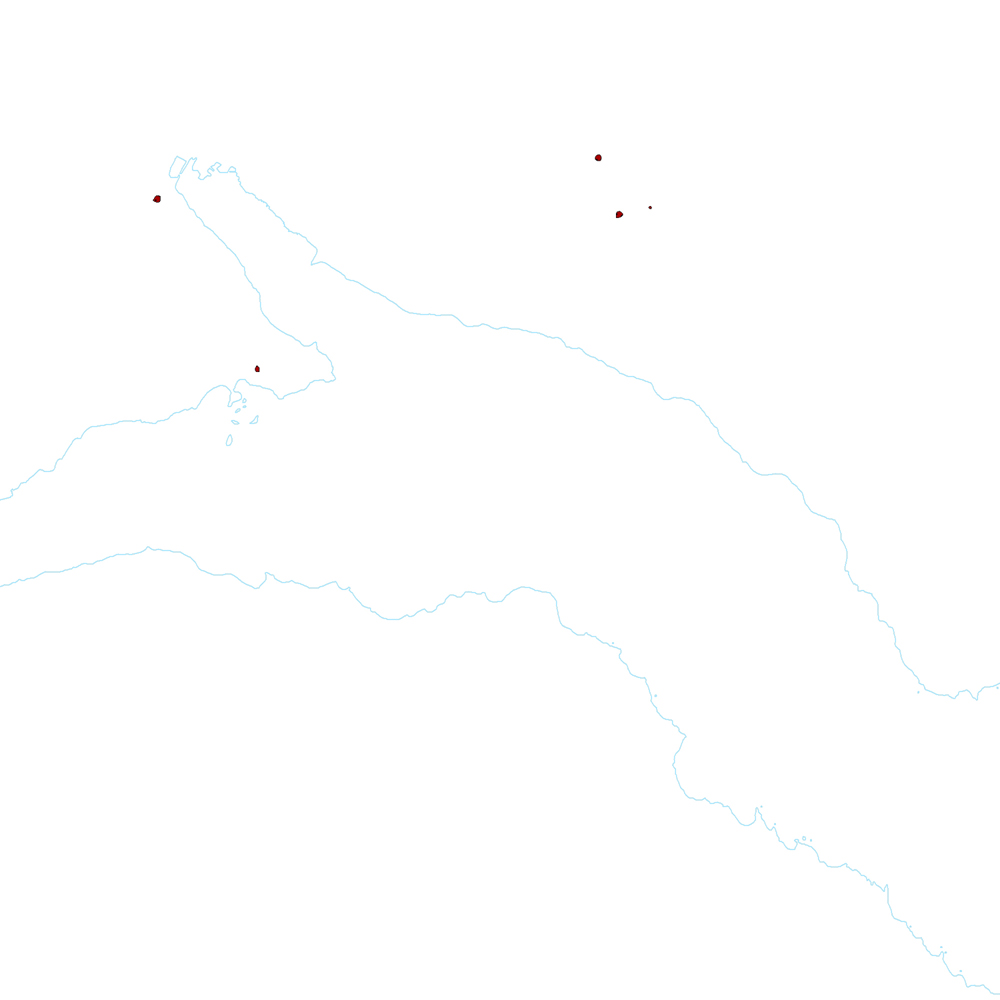
Flákar sem sýna gjallgíga í jarðlagastafla Austurlands.
[Polygon data of scoria cones in Eastern Iceland.}
Simple
- Date (Publication)
- 2019-12-31
- Edition
-
1. úrg.
- Other citation details
-
Tilvísun: Birgir V. Óskarsson og Martin J. Riishuus 2019. Jarðfræðikort af Austurlandi. 1:100.000. 1. útg. Garðabær: Náttúrufræðistofnun Íslands. Bibliograðhic reference: Óskarsson, B.V. and Riishuus, M.S. 2019. Geological Map of Eastern Iceland. 1:100.000. 1st edition. Garðabær: Icelandic Institute of Natural History.
- Collective title
-
Jarðfræðikort af Austurlandi 1. útg. – 1:100.000 – NI_J100v_Austurland_1.utg
- Status
- On going
- Point of contact
-
Organisation name Individual name Electronic mail address Role Náttúrufræðistofnun – Natural Science Institute of Iceland
Originator
- Maintenance and update frequency
- As needed
- Place
-
-
National
-
-
GEMET - INSPIRE themes, version 1.0
-
-
Geology
-
- Theme
-
-
GSL
-
- Access constraints
- Copyright
- Other constraints
-
https://www.natt.is/is/midlun/opin-gogn
Gögnin eru öllum opin – no limitations on public access
- Spatial representation type
- Vector
- Denominator
- 100000
- Language
- ice
- Character set
- UTF8
- Topic category
-
- Geoscientific information
))
- Begin date
- 2019-06-30
- End date
- 2019-12-31
- Reference system identifier
- EPSG / 3057
- Distribution format
-
Name Version ESRI ArcGIS File Geodatabase
10.7.0.10450
ESRI Shapefile
10.7.0.10450
Digital transfer options
- OnLine resource
-
Protocol Linkage Name WWW:LINK-1.0-http--link
https://www.natt.is/is/midlun/opin-gogn/nidurhal-gagna Niðurhal gagna
WWW:LINK-1.0-http--link
https://jardfraedikort.ni.is/ NÁTT kortasjá 'Jarðfræði Íslands'
WWW:LINK-1.0-http--link
https://www.natt.is Vefur Náttúrufræðistofnunar
WWW:LINK-1.0-http--link
https://www.natt.is/is/midlun/grunngerd-landupplysinga/gagnalysingar-og-fitjuskrar Íslenskt fitjuskrá '600 Jarðmyndun og landmótun' sem tengjast staðlinum ÍST 120 (PDF)
WWW:LINK-1.0-http--link
https://www.natt.is/is/midlun/opin-gogn Skilmálar (PDF) – Licence (PDF)
OGC:WMS
https://gis.natt.is/geoserver/wfs?request=GetCapabilities ni:ni_j100v_austurland_gigar_1utg_fl
- Hierarchy level
- Dataset
- Statement
-
Gjallgígarnir voru kortlagðir að mestu af Birgi Óskarssyni. Ágúst Guðmundsson benti á gíga í Mjóafirði.
[The scoria cones were mapped by Birgir Óskarsson. Ágúst Guðmundsson pointed out the scoria cones in Mjóafjörður.]
Metadata
- File identifier
- 4f7312f5-0f86-4b1d-b501-37dec5f14df0 XML
- Metadata language
- English
- Character set
- UTF8
- Parent identifier
-
Jarðfræðikort af Austurlandi 1. útgáfa – 1:100.000
c907fbd3-7420-4c0b-81e4-b877514ba8c5
- Hierarchy level
- Dataset
- Date stamp
- 2025-08-08T12:08:49
- Metadata standard name
-
INSPIRE Metadata Implementing Rules
- Metadata standard version
-
Technical Guidelines based on EN ISO 19115 and EN ISO 19119 (Version 1.2)
- Metadata author
-
Organisation name Individual name Electronic mail address Role Náttúrufræðistofnun – Natural Science Institute of Iceland
Point of contact
)))