Hæðarlíkan útgáfa 1.0 -- DEM 1.0
Íslenska:
Frá 2015 hefur verið opið aðgengi að hæðargögnum af Norðurheimskautinu (norður af 60°N, þar með talið af Íslandi). Gögnin hafa gengið undir nafninu ArticDEM og eru frá Polar Geospatial Center sem er staðsett í University of Minnesota ( https://www.pgc.umn.edu/data/arcticdem/). Gögnin urðu til við vinnslu mikils magns af landhæðarlíkönum, flest frá 2012 en elstu gögnin eru frá 2008. Landhæðarlíkönin eru unnin úr steríópörum af gervitunglamyndum frá WorldView 1-3 og GeoEye-1. Notast var við SETSM sem er opinn hugbúnaður fyrir stafrænar myndmælingar á Bluewaters ofurtölvu University of Illinois. Hvert landhæðarlíkan hefur 2x2 m upplausn og dekkar um 18X100 km stórt svæði á jörðu. Samstarf Náttúrufræðistofnunar, Veðurstofunnar og Polar Geospatial Center leiddi til þess að eftirfarandi aðferðir voru þróaðar til þess að vinna með gífurlegt magn gagna. Aðferðirnar eru:
1- Samræma staðsetningu allra landhæðarlíkana
2-Búa til samsett landhæðarlíkan úr öllum líkönunum með því að búa til þekju sem geymir tíma gagnanna. Hver pixill í samsetta líkaninu sem er unnið úr ArcticDEM er miðgildi allra líkana sem fyrirfinnast á svæðinu.
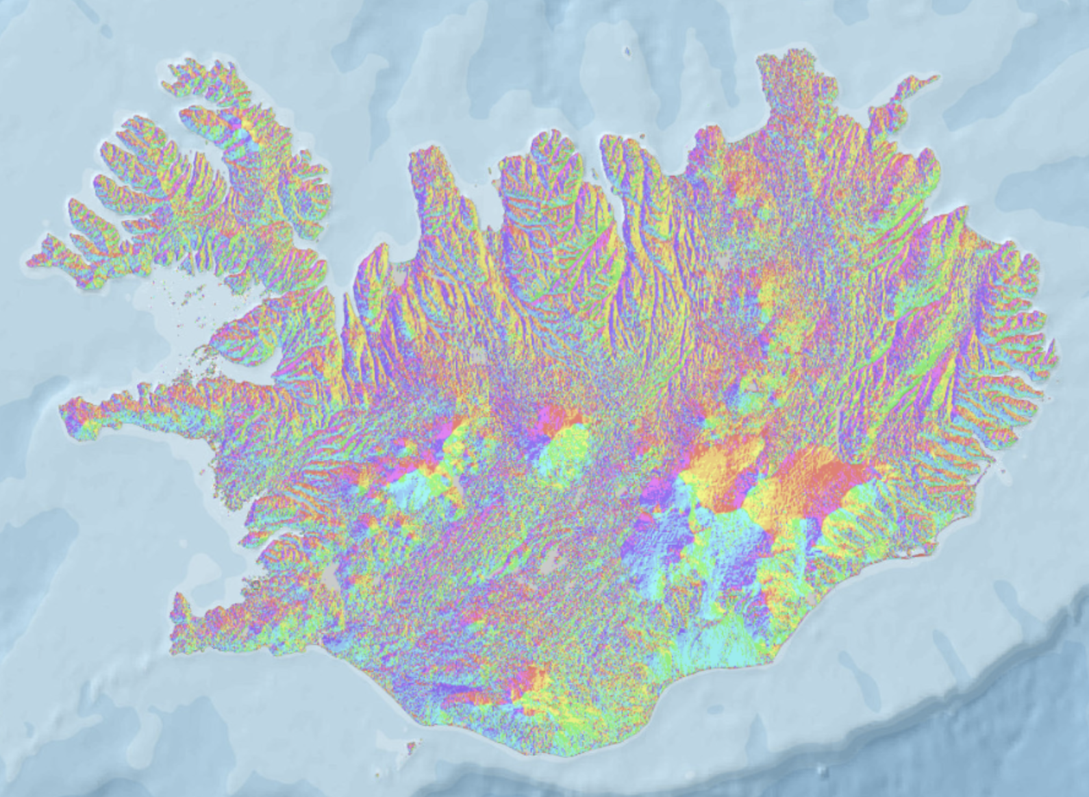
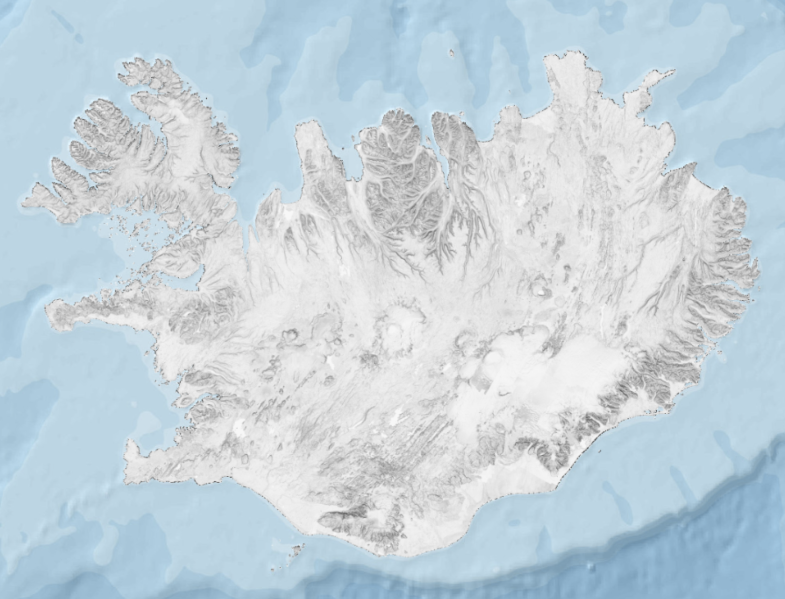
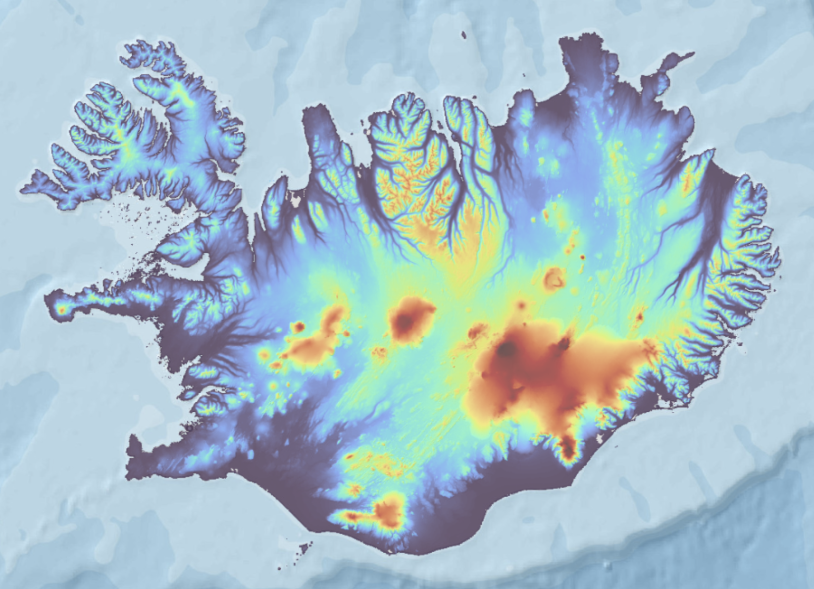
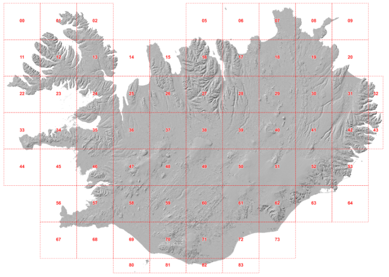
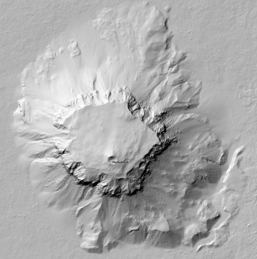
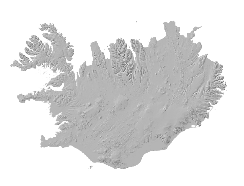
Gögnin eru einnig notuð sem bakgrunnskort í Kortaglugga grunngerðar landupplýsinga á Íslandi. En það er líka hægt að skoða gögnin á örðum bakgrunni go með öðrum gögnum í Kortaglugga. Smámyndirnar hér til hliðar eru að hluta til dæmi um hvernig hægt er að birta gögnin og eru skjámyndir úr Kortaglugga.
Dæmi um notkun á gögnunum er prentun á 3D kortum. Slóðin á leiðbeiningarnar er hér: https://leidbeiningar.natt.is/instruction/3dprinting
English:
Since 2015, elevation data from the Arctic (north of 60°N, including Iceland) started to be openly available through the ArcticDEM project, led by the Polar Geospatial Center, University of Minnesota ( https://www.pgc.umn.edu/data/arcticdem/). This data consists of a large amount of Digital Elevation Models (DEMs) repeatedly acquired (multitemporal), typically from 2012-present, and the oldest data reaching back to 2008. The Digital Elevation Models (DEM) are derived from satellite sub-meter stereo imagery, particularly from WorldView 1-3 and GeoEye-1. The processing of the DEMs was done using SETSM, an open-source digital photogrammetric software, in the Bluewaters supercomputer (University of Ilinois). Each DEM has 2x2m resolution and a footprint of ~18x100km. In a collaborative effort between the Natural Science Institute of Iceland, the Icelandic Meteorological Office and the Polar Geospatial Center, we developed methods to handle and process a large amount of data available for Iceland. The methods developed consisted of:
1-Spatial adjustment of all the available DEMs, for homogeneity and consistency in the location of each individual DEM.
2-Robust mosaicking into one single DEM of Iceland, by taking advantage of the multi-temporal coverage of DEMs. Each pixel of the mosaic corresponds to a median elevation value from the possible elevations available from the ArcticDEM.
The data is also used as a background map in the NSDI Geoportal (National Spatial Data Infrastructure), but it is also possible to view the data on a different background and with other data in the Geoportal. The thumbnails are partly examples of how the data can be displayed and are screenshots from the Geoportal.
For 3D printing the elevation model see: https://leidbeiningar.natt.is/instruction/3dprinting
Simple
- Date (Publication)
- 2020-02-23T12:00:00
- Edition
-
1
- Citation identifier
- https://gatt.lmi.is/geonetwork/srv/metadata/e6712430-a63c-4ae5-9158-c89d16da6361
- Status
- Under development
- Point of contact
-
Organisation name Individual name Electronic mail address Role Náttúrufræðistofnun
Þjónustufulltrúi
Originator
- Maintenance and update frequency
- As needed
- Theme
-
-
INSPIRE
-
DEM
-
ArcticSDI_DEM
-
Blalys
-
GSL
-
Hillshade
-
Digital Elevation Model
-
Hæðarlíkan
-
hæðargögn
-
ArcticDEM
-
- Access constraints
- Other restrictions
- Other constraints
- no limitations to public access
- Use constraints
- Other restrictions
- Other constraints
- Attribution 4.0 International (CC BY 4.0)
- Spatial representation type
- Grid
- Denominator
- 5000
- Language
-
ice
- Language
- English
- Character set
- UTF8
- Topic category
-
- Elevation
))
- Reference system identifier
- EPSG: 8088
- Distribution format
-
Name Version TIFF
1
Digital transfer options
- OnLine resource
- Hierarchy level
- Dataset
Conformance result
- Title
-
Commission Regulation (EU) No 1089/2010 of 23 November 2010 implementing Directive 2007/2/EC of the European Parliament and of the Council as regards interoperability of spatial data sets and services
- Date (Publication)
- 2010-12-08
- Explanation
-
Information required according to INSPIRE Geoportal Validator´s verification report. Validation has not been performed.
- Pass
- Yes
- Statement
-
ÍslandsDEM v1.0
Íslenska:
- Nýjum hæðargögnum bætt við vinnslu líkansins: GLO-30 (ESA, 2021), 30x30 m hnattrænt landhæðalíkan sem unnið er úr TanDEM-X verkefninu.
- Unnið handvirkt í göllum, tvítekin ArcticDEM gögn fjarlægð úr sjálfvirku vinnslunni.
- Ný samræmingar aðferð: Öll gögn úr ArticDEM hafa verið samræmd við GLO-30 DEM.
- GLO-30 hefur verið bætt inn í miðgildis útreikninga, til að minnka skekkju toppa og fylla upp í lítil göt.
- Leiðrétting á legu. Lidar gögn af jöklum og nágrenni þeirra (Jóhannesson et al., 2013) voru notuð til þess að finna skekkju á staðsetningu sem nam 0,75 m til austurs og 2,52 m til norðurs. Þessar tölur voru svo notaðar til þess að færa til önnur gögn í ÍslandsDEM v1.0.
- Staðfesting á staðsetningarnákvæmi. Lidar gögn úr drónum frá Svarma af fimm svæðum voru notuð til þess að staðfesta staðsetningarnákvæmi gagnanna. Niðurstöður benda til þess að staðsetningarnákvæmni ÍslandsDEMv1 sé betri en 2 m á fleti (xy) og betri en 0,5 í hæð (Z).
- Ný þjöppunaraðferð gagna sem notar ZStdev ( https://facebook.github.io/zstd/), býður uppá betri þjöppunarhlutfall og hraðari lestrarhraða en LZW þjöppunin sem var áður notuð. Algeng landupplýsingakerfi eins og QGIS og ArcGIS geta lesið gögn sem þjöppuð eruð með þessum hætti.
- Ný gögn frá umbrotunum við Fagradalsfjall. Gögnin eru frá 8. ágúst 2021 og byggð eru á myndmælingum (NÍ, LMÍ, HÍ and Almannavarnir).
- Hæðar gögn ná nú yfir stærra svæði, bæði út fyrir strandlínu Náttúrufræðistofnun og einnig að einhverju leyti niður fyrir strandlínur vatna.
- Nú er IceGeoid ( https://www.lmi.is/is/maelingar/grunnkerfi/geoida) notuð til að bæta nákvæmni í hæð (Z).
- Auka hlíðaskygging sem búin var til með svokölluðu TimeInDaylight tóli frá Whitebox tools (Lindsay, 2014), er nú hægt að nálgast sem flýtikort í gegnum vefþjónustu LMÍ.
English
- New elevation data was added into the processing pipeline: GLO-30 (ESA, 2021), a 30x30 m global DEM obtained from the TanDEM-X mission.
- Manual inspection and filtering of ArcticDEM duplicated segments containing artifacts, which caused outliers in the DEM mosaic.
- New DEM co-registration approach: all the ArcticDEM segments and strips have been co-registered to the GLO-30 DEM.
- Addition of GLO-30 in median-mosaic of elevations, which reduced outliers and filled out minor gaps.
- Adjustments in the location: all the lidar data from the glaciers and their vicinities (Jóhannesson et al., 2013) was used to calculate an absolute spatial shift of 0.75 m (Easting)and 2.52 m (Northing). This spatial shift was applied to the entire IslandsDEM v1.0.
- Validation of spatial accuracy: drone-based lidar data from Svarmi at 5 locations was used to validate the spatial accuracy. Results indicate that the IslandsDEMv1 has a positional accuracy better than 2 m (XY) and better than 0.5 m (Z).
- New data compression using ZStdev ( https://facebook.github.io/zstd/), which offers a higher compression ratio and faster reading speed than LZW compression. It is readable by the common GIS software (QGIS, ArcGIS).
- Addition of the Fagradalsfjall eruption, as of 8 August 2021, based on photogrammetric surveys (Icelandic Institute of Natural History, Natural Science Institute of Iceland, University of Iceland, and Icelandic Civil Defense).
- New water masks: A new coast and lake mask was defined, in order to include further elevation data around the shoreline, at low tides, and in lakes and reservoirs.
- covered water surface or shallow water when available.
- Use of IceGeoid for correction to orthometric heights ( https://www.lmi.is/is/maelingar/grunnkerfi/geoida)
-Additional new shade map was created using the routine TimeInDaylight in Whitebox tools (Lindsay, 2014), used now as the IslandsDEM base map and accessible through Web Map Service (WMS).
Heimilidir (e. sources)
European Space Agency, Sinergise (2021). Copernicus Global Digital Elevation Model. Distributed by OpenTopography. https://doi.org/10.5069/G9028PQB Accessed: 2021-06-18
Jóhannesson, T., Björnsson, H., Magnússon, E., Guðmundsson, S., Pálsson, F., Sigurðsson, O., et al. (2013). Ice-volume changes, bias estimation of mass-balance measurements and changes in subglacial lakes derived by lidar mapping of the surface of Icelandic glaciers. Ann. Glaciol. 54, 63–74. doi:10.3189/2013AoG63A422
Lindsay, JB. (2014). The Whitebox Geospatial Analysis Tools project and open-access GIS. Proceedings of the GIS Research UK 22nd Annual Conference, The University of Glasgow, 16-18 April, DOI: 10.13140/RG.2.1.1010.8962.
--------------------------------------------------
ÍslandsDEM v0
Íslenska:
- Gögn eru byggð á myndum sem eru teknar 2008-2017. Gögn eru að langmestu leyti fengin frá PGC, en einnig eru notuð lidar og dróna gögn frá öðrum aðilum (sjá heimildir hér að neðan). Hæðarnákvæmni gagnanna er betri en 1 m en staðsetningarnákvæmni eru 3 m. Líkanið er enn í vinnslu og eftir á að lagfæra villur, slétta vötn og fleira, við köllum þessa útgáfu því útgáfu 0.
- Löguðum vötn >2km2
- Bættum við lidar líkönum af jöklum úr Icelandic glaciers (Jóhanesson and others, 2013)
- Bættum við gögnum sem safnað var með dróna úr Surtsey (Óskarsson and others, 2020)
- Breyting úr geoíðu- í sporvöluhæði
English:
- The data is based on images from 2008 - 2017. Most of it is based on the ArcticDEM (Porter and others, 2018), but some lidar and drone data from others (see below) were used as well. The Vertical accuracy is better than 1m but the horizontal accuracy is 3 m. The model is a work in progress and many errors are yet to be fixed, such as in small lakes and other areas, that's why we call this version 0.
- Fixing of lakes >2km2
- Combination with lidar DEMs available for Icelandic glaciers (Jóhanesson and others, 2013)
- Combination with a drone-based survey of Surtsey (Óskarsson and others, 2020)
- Conversion from ellipsoidal to orthometric elevations
Heimilidir (e. sources)
Lidar:
Jóhannesson, T., Björnsson, H., Magnússon, E., Guðmundsson, S., Pálsson, F., Sigurðsson, O., et al. (2013). Ice-volume changes, bias estimation of mass-balance measurements and changes in subglacial lakes derived by lidar mapping of the surface of Icelandic glaciers. Annals of Glaciology 54, 63–74. doi:10.3189/2013AoG63A422
Surtsey:
Óskarsson, B. V., Jónasson, K., Valsson, G. and Belart, J.M.C.: Image-based 3D reconstruction of Surtsey island and applications in elevation changes and volume quantification (submitted). Surtsey Research 14.
ArcticDEM:
Porter, C., Morin, P., Howat, I., Noh, M.-J., Bates, B., Peterman, K., Keesey, S., Schlenk, M., Gardiner, J., Tomko, K., Willis, M., Kelleher, C., Cloutier, M., Husby, E., Foga, S., Nakamura, H., Platson, M., Wethington, M., Williamson, C., Bauer, G., Enos, J., Arnold, G., Kramer, W., Becker, P., Doshi, A., D’Souza, C., Cummens, P., Laurier, F., Bojesen, M. (2018). “ArcticDEM”, https://doi.org/10.7910/DVN/OHHUKH, Harvard Dataverse, V1.
Metadata
- File identifier
- e6712430-a63c-4ae5-9158-c89d16da6361 XML
- Metadata language
- English
- Hierarchy level
- Dataset
- Date stamp
- 2026-09-29T13:50:09.173993356Z
- Metadata standard name
-
ISO 19115:2003/19139
- Metadata standard version
-
1.0
- Metadata author
-
Organisation name Individual name Electronic mail address Role Náttúrufræðistofnun
Þjónustufulltrúi
Point of contact
Overviews
Spatial extent
)))
Provided by
